
Tracing a Huntington Street by Address
A Huntington street search works best as an address trail, not as a list of every person who lives along the road. The Town's property tools identify a parcel, a physical address, assessment information, and the owner or mailing name tied to the tax record. The Suffolk County Clerk then supplies recorded land instruments. A historic directory or a permit can add a dated connection, but a name on one source may be an owner, grantor, grantee, applicant, or historical business contact. Label that role before drawing any conclusion about a present household.
- Search the street number and street name in the Town Property Tax Record. The address route asks for the street name without a suffix such as St., Ave., or Blvd.
- Save the parcel's Suffolk County Tax Map identifier, also called the SCTM. Preserve its leading zeroes and punctuation because it connects Town and County searches.
- Open the parcel in Huntington GIS to compare the mapped location, property-card link, visible district layers, and nearby parcels. Distinguish the physical address from the tax-mailing address.
- Use the SCTM, address, or a known name in the Suffolk County Clerk Records Kiosk. Read the current deed and retain its Liber/Page and legal description before working backward.
- For an earlier period, ask the Mary Talmage Local History Room or the Huntington Historical Society whether a dated directory, map, newspaper, or local collection can place a person at that address.
The New York voter lookup is not a street-browse tool. It verifies a known person's registration with identity fields, and confidential registration can suppress an address. A missing result does not show that an address has no residents.
For an old address, retain the street label exactly as the deed, map, and source display it. The research did not identify a definitive Huntington street-renumbering or Townwide readdressing table. When labels differ, compare the SCTM, subdivision lot or block, metes-and-bounds description, adjacent owners, and historic hamlet or village name. This is more reliable than forcing an older address into a modern postal label.
Huntington Street Directory Search Fields
The Town property search offers two practical routes. Use an address when the street location is known, or use the segmented tax-map route when a deed, map, or prior search has already produced the parcel identifier. A blank result is a reason to retry the street form, check a subdivision or older legal description, or browse the assessment roll by tax map number. It is not proof that no record exists.
| Town Property Search Field | How to Use It | Why It Matters for a Street Search |
|---|---|---|
| Street Number | Enter the number only. | Starts the address route for a specific parcel. |
| Street Name | Enter the name without a street-type suffix. | Helps avoid a format mismatch in the Town tax lookup. |
| District | Use the four-digit first part of the SCTM. | Separates Town and incorporated-village tax-map areas. |
| Section, Block, Lot | Keep each SCTM segment exactly as shown. | Identifies the parcel when a street address is ambiguous. |
| Assessment-roll PDF | Browse by tax-map number when needed. | Provides a fallback to the owner-name form. |
Address terms to keep separate. A parcel is the mapped tax unit. The situs address is its physical location. A plat or filed map can identify lots and blocks in a subdivision. A criss-cross directory is an older address-to-name reference, but no complete Huntington run was confirmed in the inspected sources. Ask the local-history collection about the particular year instead of assuming one exists.
The four-digit district at the front of an SCTM is important in Huntington because incorporated villages use their own tax-map districts. The research identifies 0401 for Asharoken, 0402 for Huntington Bay, 0403 for Lloyd Harbor, and 0404 for Northport. That identifier helps keep a deed, property record, and map result tied to the right municipal area when a street or postal label overlaps more than one local geography.
Huntington GIS for a Street Segment
Huntington GIS searches by Parcel Address, Parcel SCTM, or Intersection. After locating one parcel, use point selection or map browsing to review the street segment. The public map also offers polygon selection, a buffer measured in feet, layer queries, parcel-list reports, real-estate reports, owner-mail and resident-mail labels, and CSV generation. These reports are public-data outputs, not a verified census of a street.
Use the smallest selection that answers the question. The portal can display zoning, environmental, site-history, and district context, which helps distinguish adjacent parcels from a single address with several structures. Its own disclaimer says the map is reference information and not for surveying or conveyance. Postal city, village, school, fire, and tax districts can overlap, so confirm the parcel's Town or village status with the map rather than relying on a ZIP label.
For a controlled map query, the GIS uses a Select Layer area with field, operator, and value controls. The public instructions describe 1=1 as a query for all features in a layer and Intersects as a way to return features that meet a selected geometry. Those functions are useful for parcel or boundary review, but they should not be used to assemble a broad people list. Record the selected layer, map date, and report type with any research notes.
Huntington Street Deeds at the County Clerk
The Suffolk County Clerk Records Kiosk offers address and tax-map routes along with Name/Corporation, Liber/Page, Index Number, and UCC searches. A land result can show the Liber, page, document type, grantor, grantee, date received, notations, a certified-copy route, and a document viewer. The index is free to search without login. Individual images, subscriptions, and certified copies can have separate charges.
The Suffolk County Clerk Records Kiosk displays the address, tax-map, and name routes used to connect a Huntington address with recorded instruments.
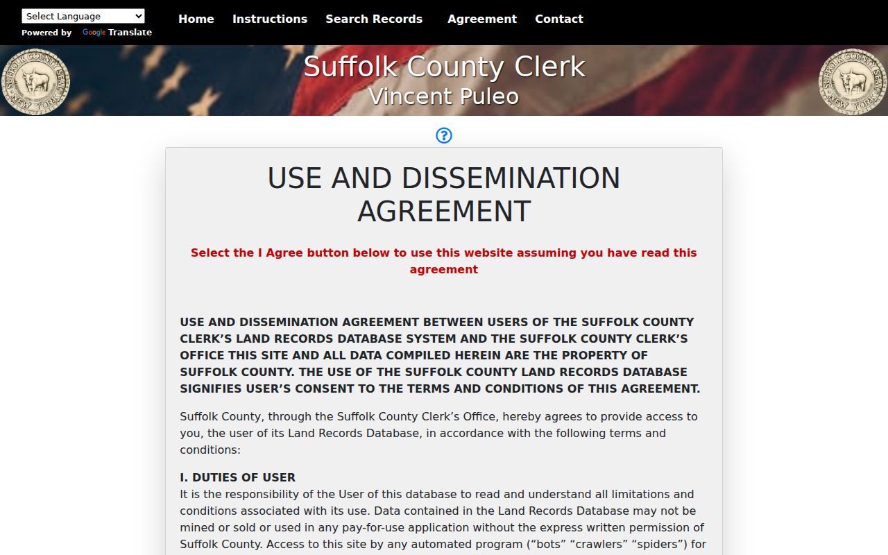
Begin with the latest deed, record its legal description and cited prior instrument, then search the seller as the next grantor or grantee as the chain requires. The legal description matters because parcels can be divided, combined, or described through filed maps and metes and bounds. Condominium searching is especially dependent on the exact SCTM. The online image backfile begins in 1987; older work can require the Riverhead records room, where the historic land books reach back to the mid-1600s and pre-1969 research uses both grantor and grantee indexes.
The Historic Documents Library is the useful fallback when a current street search reaches an older instrument. Its house-history guidance directs researchers to begin with the current deed's Liber/Page, then use older books under both the buyer and seller names. The records room is in Riverhead, with weekday hours listed as 9:00 a.m. to 5:00 p.m.; document pulls stop after 4:15 and researchers should finish by 4:45. Historic-room copies are listed at 25 cents per page. Bring the SCTM, street variations, and deed references rather than only a house number.
Huntington Records Available by Street
Each address-keyed source answers a different question. Pairing them reduces the risk of treating an owner name, a mail recipient, or a permit applicant as proof of current residence.
| Address-Keyed Source | Custodian | Useful Street Evidence | Access Route |
|---|---|---|---|
| Property tax record and assessment roll | Town of Huntington property-information offices | Owner information, physical and mailing address, assessments, tax codes, and exemptions | Town tax lookup, roll PDFs, or a Town request |
| GIS parcel and property card | Town Planning and Environment | SCTM, geometry, property links, district layers, and site-history access | Free public GIS with a reference-only disclaimer |
| Deeds, mortgages, and filed maps | Suffolk County Clerk | Grantor/grantee, recording trail, legal description, Liber/Page, and map references | Free index; image and certified-copy routes vary |
| Site History and permits | Town Building Department | Applications, permits, certificates, work description, dates, and fees | Property Info route; older material may require FOIL |
| Historical directories and maps | Huntington Public Library and Historical Society | Dated addresses, occupations, business locations, maps, and local context | Appointment, film, in-library, or collection-specific access |
The Town's Site History Summary is useful for physical-change research, not for naming current residents. Its route begins by accepting the Property Info disclaimer and then searching the parcel or address. The Building Department guide allows a FOIL request for permit and certificate-of-occupancy history when an older entry is not online. Record the result's stated role and date. A permit applicant may be an owner, contractor, architect, or another participant.
FOIL is a fallback for existing records held by the agency that actually controls them. Under New York Public Officers Law Article 6, an agency generally must grant, deny, or acknowledge a reasonably described written request within five business days. An acknowledgment ordinarily provides an approximate date for a response. The law does not require the Town to create a new street list, conduct research, or supply material held by the County Clerk, library, or another office. Direct the request to the custodian and describe the address, date range, record type, and desired electronic format.
Huntington Street Alerts Through HOWL
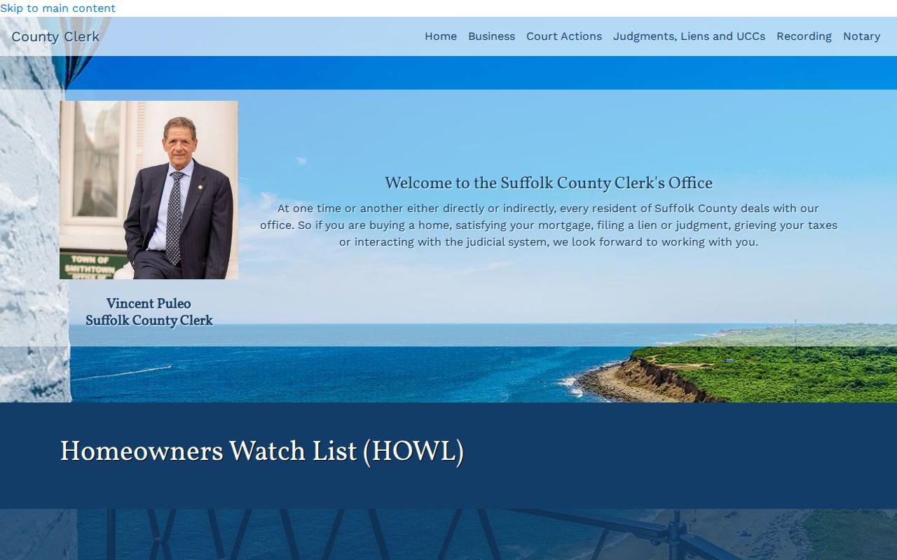
For a current-property concern, the Suffolk County Homeowners Watch List, or HOWL, is a free alert option for land-record activity. It is an alerting tool, not a substitute for reading the indexed document, checking the tax map, or verifying an unfamiliar filing with the County Clerk. Keep a direct County source open when reviewing an alert, especially before entering payment information on any record-related site.
Suffolk County's HOWL page explains the County Clerk's property-record alert service.
Limits of a Huntington Street Directory
No public Huntington source reviewed provides a complete, current household list for a street. A tax-roll mailing address can be a PO box, business, trust, estate, or address outside the parcel. GIS mail-label and resident-mail reports are portal-generated public-data reports, not proof of every person at an address. Utility customer lists and private delivery records were not located in the public sources. The statewide voter lookup is limited to a known person, and voter identifiers, signatures, and confidential registrations have statutory protections.
New York's Address Confidentiality Program gives qualifying participants a substitute address and protects the actual address under Executive Law §108 and 19 NYCRR Part 134. Confidential voter registration under Election Law §5-508 has similar safety implications. Do not try to join public records, maps, or other sources to reconstruct a protected location. Use the narrowest record and smallest set of fields needed for a lawful family-history, property, civic, or consumer-safety question.
Preserve the source date and record label with any research note.
Lawful use. Street and address records are not tools for repeated contact, intimidation, or surveillance. New York Penal Law §120.45 and §240.26 address aggravated harassment and harassment; report immediate danger to 911 and suspected misuse to the appropriate local authority.