
Huntington Neighbors and Block Sources
A block search in Huntington should begin with records that describe geography and ownership, then add only the public community material needed for the question. The selected parcel is the stable starting point. Tax and deed sources may name people associated with that parcel, but they do not establish a full list of people at the address. The table separates what each source can show from what it cannot responsibly be made to prove about your neighbors.
| Block Source | What It Can Show | How to Access It |
|---|---|---|
| Huntington GIS parcel viewer | Selected and touching parcels, SCTMs, geometry, zoning, environmental, and district layers | Free public map with selection, buffer, reports, and a reference-only disclaimer |
| Town assessment roll | Names associated with parcels, assessment year, tax districts, and exemptions | Tax-map PDF browse or Town property-information routes |
| Suffolk County deed index | Grantors, grantees, recorded instruments, legal descriptions, and filing dates | Free Kiosk index; images and copies can have separate charges |
| New York voter tools | Registration or polling information for a known individual who supplies required identity fields | Individual lookup only; confidential registration and statutory limits apply |
| Libraries, archives, and public groups | Dated community references, organizations, maps, photographs, and historical context | Collection-specific access, appointment, or official public page |
Owners and residents are different categories. A tax roll may identify an owner, last reputed owner, or tax-mail recipient. A deed identifies people in a recorded transfer. An address can also belong to an estate, trust, corporation, or person who receives correspondence elsewhere. Huntington neighbors should therefore be described as adjacent parcels or public organization contacts unless a source expressly and lawfully identifies a different relationship.
The County Clerk's address-to-tax-map results can display names, address, city, ZIP, and district, section, block, and lot, but the display can limit large result sets to the first 2,000 entries. Preserve the SCTM before changing sources. It is the practical bridge between the mapped parcel, the Town tax record, and the County land index. It also helps avoid treating two similarly named roads, a village location, or a nearby postal address as the same property.
Map Huntington Neighbors from One Parcel
Huntington GIS can search by Parcel Address, Parcel SCTM, or Intersection. The map supports point, polygon, and free-polygon selection, plus a buffer measured in feet. This makes the process reproducible: use a selected parcel to identify a defined group of surrounding parcels rather than guessing who belongs on a block from a street label alone.
- Search the known address or SCTM, select the parcel, and note its exact tax-map identity, visible map date, and physical address.
- Review touching polygons with point selection, or use the Buffer control to set a documented distance in feet. The buffer identifies a geographic group, not a social group.
- Run Parcel List Report or Print Grid Results to keep a reviewable set of adjacent SCTMs. Generate CSV From Grid only when the minimum result set is necessary.
- Check property-card and assessment information for each relevant parcel, then use the County Clerk index to confirm a recorded ownership role or deed relationship.
- Check roads, water, rights-of-way, village lines, and district boundaries before calling parcels neighbors. A touching parcel can have a different postal or municipal label.
For a full named-street trail, use By Street. That walkthrough follows the address across the Town roll, GIS, County Clerk, permits, and historical sources. This page keeps the focus narrower: the immediate parcel relationship around one address.
The GIS offers Owner Mail Labels and Resident Mail Labels among its report controls. Treat either as a report name, not as a declaration that every label identifies a person who is presently at the parcel. A tax mailing address can be elsewhere, and the available public source does not establish every member of a household. Use the report only for the limited public-record purpose that supports the research question, and retain the access date and map disclaimer.
Huntington Block Boundaries Need Checking
Geometry matters more than a mailing label. Northport, Huntington Bay, Asharoken, and Lloyd Harbor are incorporated villages within the Town of Huntington, and Town, village, school, fire, postal, and county boundaries can overlap. A map selection should retain both the Town context and, where shown, the village or district context. Do not assign a parcel to Huntington only because a postal address uses a familiar community name.
The GIS can show zoning, environmental, site-history, and district layers, while County and Town maps are general reference resources rather than survey documents. Water, railroad corridors, irregular lots, condominium parcels, and rights-of-way can make a visual neighbor different from a tax-map neighbor. Where the question turns on a line or legal parcel, confirm it with the current parcel record or the custodian rather than relying on a screen view.
ZIP geography adds another caution. A Huntington Station mailing city can be within the Town without falling in an incorporated village, and a Northport or Fort Salonga postal label does not by itself settle the municipal question. USPS verifies a mailing label, while the GIS and SCTM identify the parcel. Keep those functions separate in a block note so a neighbor result does not overstate jurisdiction.
Huntington Community Directory Leads
Public organization information can help a reader understand the community layer around a Huntington block without claiming to list all residents. The research found no complete Town-published neighborhood-association or HOA directory. A Town news item names the Greenlawn Civic Association, but that individual reference is not a complete civic inventory. Confirm current coverage with the organization or the relevant Town or village office.
| Community Lead | Documented Evidence | Appropriate Use |
|---|---|---|
| Greenlawn Civic Association | Named in a Town news item | A public civic lead, not evidence of a member roster or Townwide coverage |
| Huntington Chamber of Commerce | Public directory and community categories at the Chamber website | Organization and business contact leads; verify details on the member's own page |
| Incorporated villages | Northport, Asharoken, Lloyd Harbor, and Huntington Bay have separate municipal identities | Use official contact and governance pages, not as a neighborhood roster |
| Huntington Historical Society | Files on clubs, organizations, churches, homes, businesses, and families | Appointment-based historical research by collection |
| Huntington Public Library | Local-history photographs, clippings, oral histories, maps, and yearbooks | Dated community context rather than a current block list |
The Huntington Chamber of Commerce provides a public organization directory and community categories.
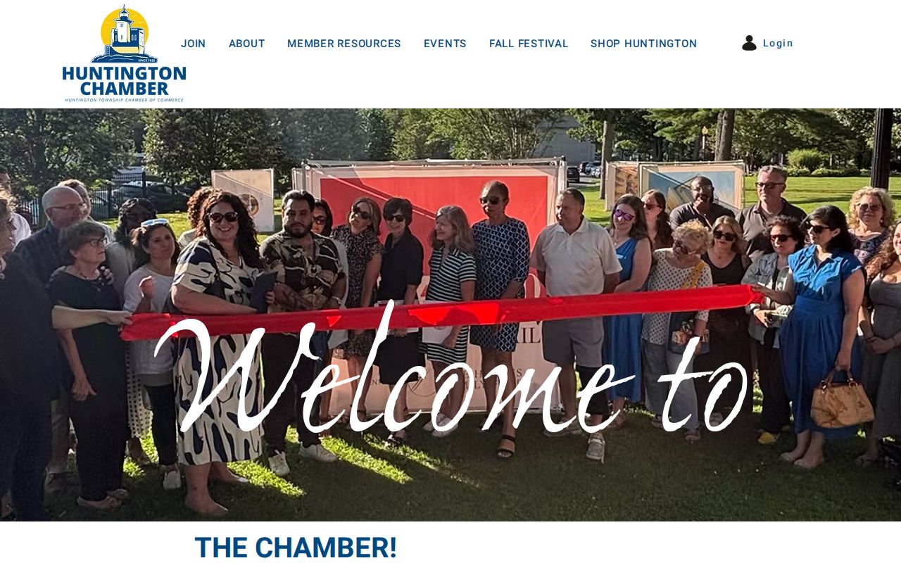
The Huntington Chamber is located at 164 Main Street and lists a public member directory and community categories. Its entries are organization-level leads, so confirm a current contact through the member's own page. For historical community research, Huntington Public Library's Mary Talmage Local History Room and the Huntington Historical Society provide the stronger repository routes. The Society's Resource Center is appointment-only and organizes material by collection, not as an open roster for a modern block.
Huntington Neighbors: Official Records First
Official sources state what they hold and often show the date, parcel, filing type, or search limits behind a result. The Town GIS provides parcel geometry and a stated disclaimer. The assessment roll describes the tax relationship. The County Clerk shows recorded instruments and their parties. The voter system is deliberately limited to an identity-based lookup, while an eligible data request must state an elections purpose. These limits are useful because they show what a result can and cannot mean.
Commercial neighbor-lookup services are a different category. They may combine public, licensed, or inferred material, but the research does not treat them as a source to link or recommend. Such results can be stale, mismatched, or detached from the record date. When a public record needs checking, return to the Town GIS, Town property record, Suffolk County Clerk, Board of Elections, library, or archive that controls the relevant source.
For voter material, the public statewide form requires county, last name, first name, date of birth, and ZIP or address information for a known person. It cannot be used to scroll a block. A broader request is subject to Election Law rules, including an elections-purpose statement, and protected identifiers are suppressed. That limitation is a reason to use public civic contacts and official boundary information for community context instead of trying to turn a voter system into a neighbors list.
Historical Context for Huntington Neighbors
For a past block, the local-history layer is more useful than trying to make a modern parcel screen answer a historical question. Huntington Public Library's Mary Talmage Local History Room holds maps, clippings, photographs, oral histories, and yearbooks. Its yearbook project covers 1930 through 2018 except 1933. The Historical Society's appointment-based Resource Center has material on homes, farms, clubs, organizations, churches, businesses, estates, and families, plus church and cemetery collections.
Keep the date in view. A 1929 city directory, an 1868-69 directory transcription, a dated yearbook, or an archive file may place a person or organization in an earlier neighborhood network. It does not indicate a present address. This distinction is especially important when using an old street name, village label, or lot reference alongside the modern GIS.
Maps can help make an older source intelligible. The researched holdings include Chace's 1858 map, Beers's 1873 atlas, Hyde maps from 1909 and 1917, and Sanborn material whose sheet years should be confirmed at the volume level. A map may explain a lot, road, or building footprint, but it does not replace the deed's legal description. Pair it with the period directory or archive record rather than projecting a historic reference onto today's block.
Privacy Limits for Huntington Neighbors
Public availability is not a reason to gather or redistribute every field. Do not publish Social Security numbers, driver's-license or non-driver-ID numbers, signatures, exact dates of birth, personal email or telephone fields, medical information, protected addresses, or raw voter-download data. Use the narrowest record and smallest field set that answers the research question. Avoid combining a public name with a full parcel, court, family, and contact profile when a shorter description will do.
The New York State Address Confidentiality Program protects qualifying participants through a substitute address under Executive Law §108 and 19 NYCRR Part 134. Confidential voter registration under Election Law §5-508 can also keep a residence address separate from a public record. A missing voter result is not an invitation to reconstruct an address through maps, tax records, social posts, or other sources. Correct a claimed error at the source where possible, and do not promise removal from an archive that this site does not control.
New York FOIL concerns existing agency records and does not override a confidentiality law or make one office responsible for another office's files. A request should identify the custodian, address or SCTM, date span, record type, and preferred electronic format. Government availability also does not make broad republication appropriate. If a person raises an Address Confidentiality Program or confidential-voter concern, remove detail under this site's control promptly and direct the person to the official protection route.
Lawful use. A neighbor search is not a tool for surveillance, threats, repeated unwanted contact, or exposing a protected person. New York Penal Law §120.45 and §240.26 address aggravated harassment and harassment. In an emergency, call 911; otherwise report suspected misuse to the appropriate local authority or platform.